Precision Surveys Inc has been acquired by DJ&A, P.C.!
Precisions Surveys Inc. is proud to announce their successful acquisition by DJ&A, a multidisciplinary professional services consulting firm, This strategic move strengthens DJ&A’s survey and geospatial services and expands its presence in the Southwest.
Founded in 1973, DJ&A provides engineering, environmental, surveying, and planning services to clients across the United States. With over 175 professionals in offices throughout Montana, Colorado, Washington, South Dakota, Nevada, and now New Mexico, DJ&A serves a diverse range of federal, tribal, local, and private clients.
On Time,
On Target
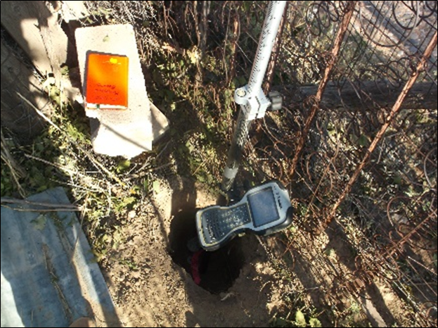
Our mission is to provide professional geospatial services by utilizing the latest computerized surveying technology.

Our Services
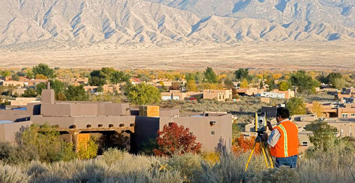
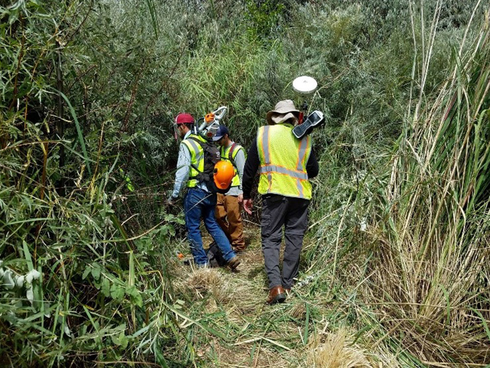
We specialize in commercial surveys such as ALTAs and Topos, in addition to large-scale Cadastral projects for Governmental and Tribal entities.
Precision Surveys, Inc. has performed numerous boundary surveys. A boundary survey is what it says-a survey to define the boundaries of a tract of land.
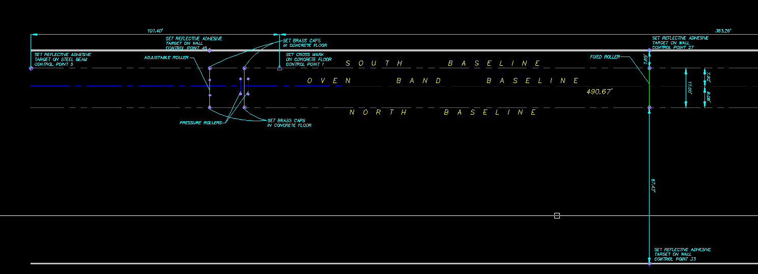
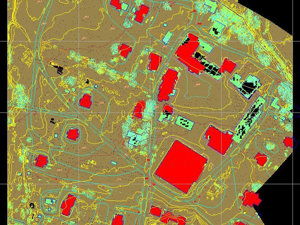
A topographic survey shows the elevation of a piece of land. The elevations are typically represented by contours, spot elevations or a combination of both.
In the past we typically provided a map showing plan. With our latest technology we can present our data in exciting new ways.
Case Studies
Ready to get started?
No matter the size of the project, we're here to help. Get in touch, we're glad to talk.
Employment Opportunities
We're always looking for problem solvers who aren't afraid of getting their hands dirty.
Powered by Real Time Solutions - Website Design & Document Management